Photo by ritaya; licensed under CC BY-NC 4.0
Hey Google: Where are Rüppell’s Vulture Nests?
Across wildlife conservation, there is one common problem: it’s a big planet. Particularly in remote regions or those with difficult terrain, issues of access and available manpower mean that researchers can only study a small portion of a population. But in recent decades, a new tool in biologists’ quivers has emerged: free, increasingly detailed, and increasingly accessible satellite imagery.
A new paper in Ibis, authored by a team of researchers that included The Peregrine Fund’s Vice President of International Conservation Programs Dr. Evan Buechley, has pioneered the use of satellite imagery to locate nesting colonies of Critically Endangered Rüppell’s Vultures. Satellite imagery has been used before to monitor other colonial species such as penguins, herons, albatrosses, and more, but this study marks the first time this data has been used to map the breeding distribution of a bird of prey across a large part of its global range.
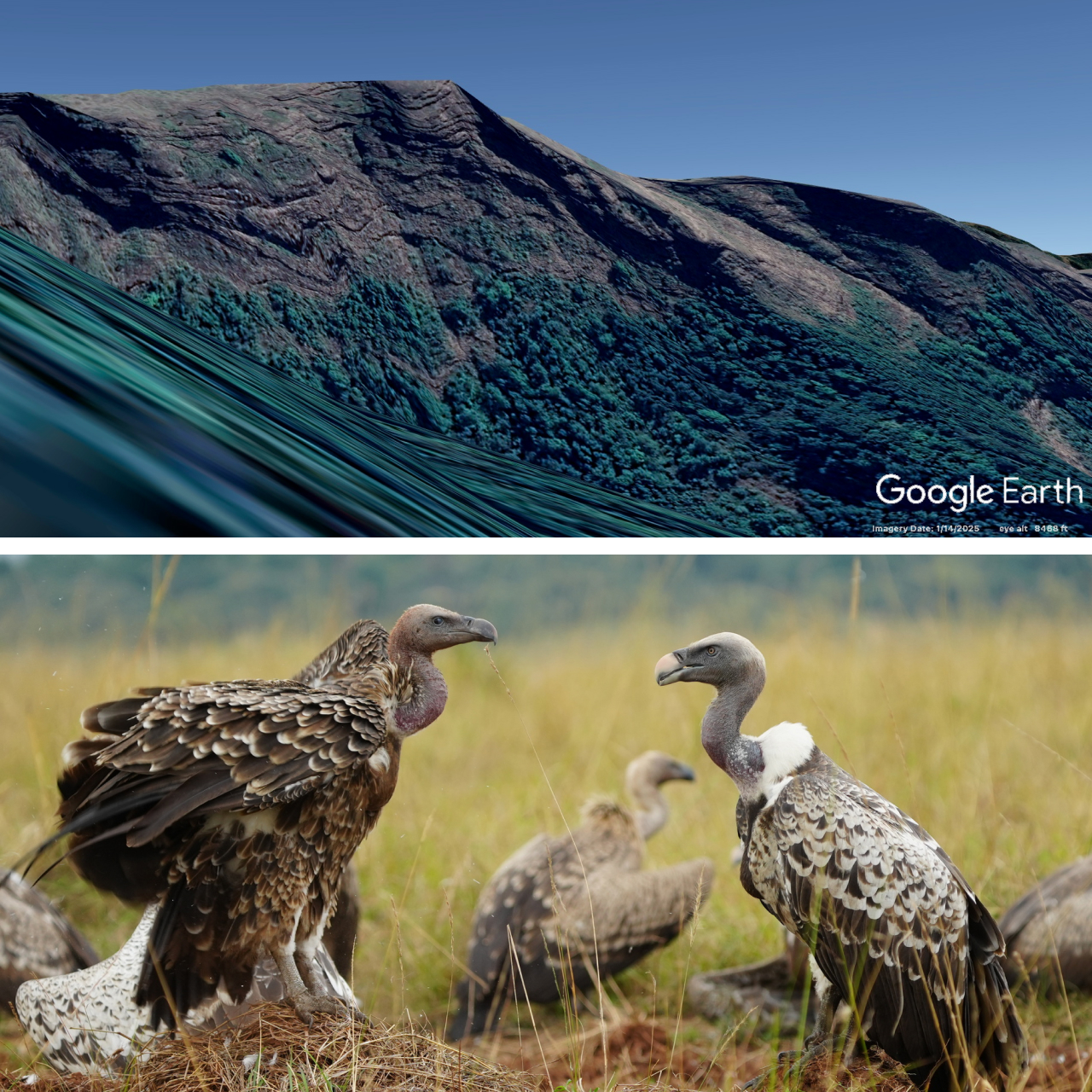
The study area included a total area of 6.24 million square kilometers—roughly one-third of the species’ total range—in seven countries in East and Central Africa: Chad, Central African Republic, Sudan, South Sudan, Ethiopia, Eritrea, and Somalia. Rüppell’s Vultures are mainly cliff-nesters, and the study area was manually scanned in Google Earth imagery for suitably-sized cliffs. Each potential site was then examined more closely for telltale “whitewash”—bright white patterns left by an accumulation of bird droppings within the colony.
A total of 232 possible colonies were identified, including a few exceptionally large colonies in Ethiopia, Sudan, Chad, and South Sudan, as well as unexpected colonies in the Central African Republic and western Eritrea. These findings can help direct conservation and protection efforts to potentially important locations for the species without the need for extensive—and expensive—site visits.
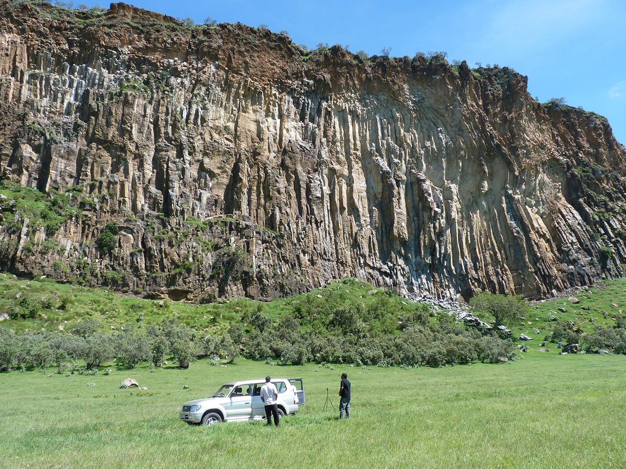
However, the researchers encourage caution when interpreting their findings. Various features such as cliff verticality, rock color, and nesting density can all make the identification of nesting colonies difficult, a concern that was confirmed when ground surveys discovered several breeding colonies that were unrecognizable in the satellite imagery. At the same time, whitewash may persist for years after a colony has been abandoned, meaning a potential site identified in the satellite imagery may no longer host birds at all. The authors stress that ground surveys are still critical to confirming the presence or absence of vulture colonies with certainty.
All the same, the technique shows promise at a pivotal time, allowing limited conservation resources to be directed with increased precision. With potential for use on other cliff-nesting raptor species, this technology could be a key asset in protecting these important birds and the ecosystem services they provide.